


What We Offer

Planning & Network Design
- HLD & LLD (High-Level and Low-Level Design)
- As-Built Documentation
- Permitting & Construction Drawings
- Address Verification & Pole Load Analysis
- Make-Ready Engineering

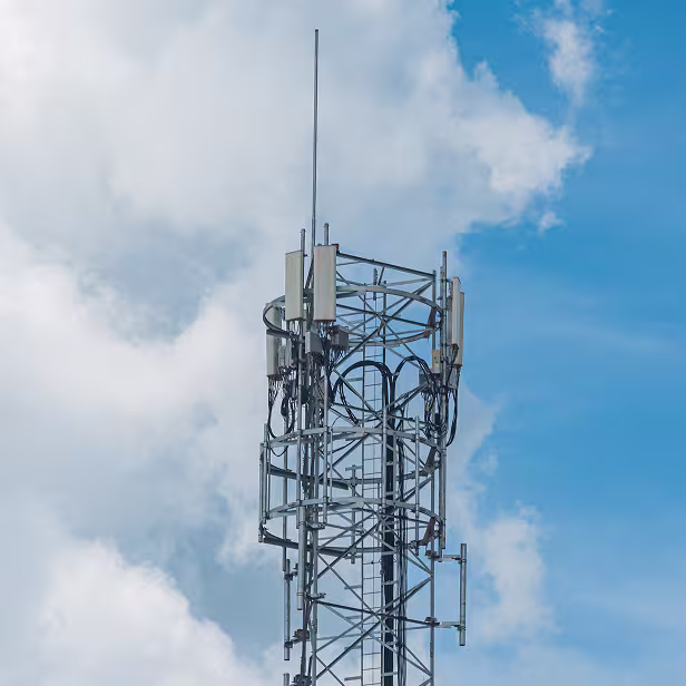
Reality Capture & Digital Twins
- Drone-based 2D & 3D Site Surveys
- 360° Mobile Mapping & LiDAR Capture
- Tower & Mount Modeling
- Digital Twins of Sites, Shelters & Equipment
- Equipment Tagging and Inventory Management

GIS Mapping & Utility Asset Integration
- AI/ML-Powered Asset Classification
- Structural Analysis & Predictive Maintenance Models
- Geospatial Data Processing and Feature Extraction

Delivery Support & Optimization
- NOC (Network Operation Center) Design Support
- Hybrid Onshore-Offshore Delivery Model
- Scalable, SLA-based execution for multi-site programs
- Automated Report Generation and Visual DashboardS
Industries We Serve
Mobile Network Operators

Tower Companies

Fiber-to-the-Premise Providers

Engineering & Design Firms
Government & Public Broadband Programs
Mobile Network Operators
Tower Companies
Fiber-to-the-Premise Providers
Engineering & Design Firms
Government & Public Broadband Programs
Featured Solutions

360Pro Mobile Reality Capture

Digital Twin Services for Telecom and Utilities

GIS Integration and Consulting

Scan-to-BIM for Construction Projects
Why Us

Full Lifecycle Support
From field survey to design to deployment

AI-Powered Scale
Use of machine learning for asset intelligence and processing

Accuracy That Scales
Survey-grade data with 3-day-to-3-week turnaround flexibility

Trusted by Telecom Majors
Track record across towercos, OEMs, and service providers